Hokianga Harbor (B1)
Hokianga Harbor, Arai Te Uru signal point, Kuoto boulders…and Opo the friendly dolphin.
GPS: -35.537992 173.383112
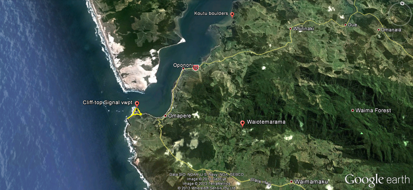
Hokianga overview
x
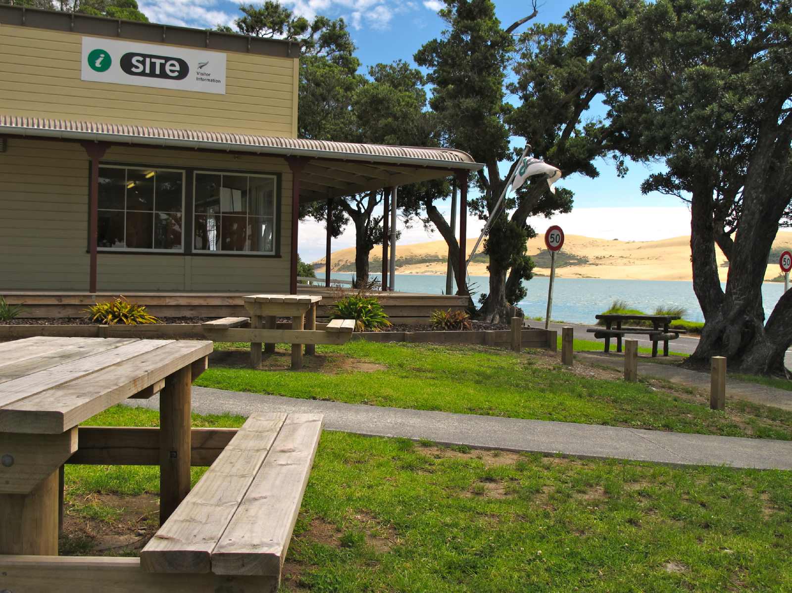
Hokianga’s Opononi i-Site with Hokianga dunes across harbour in the background
x
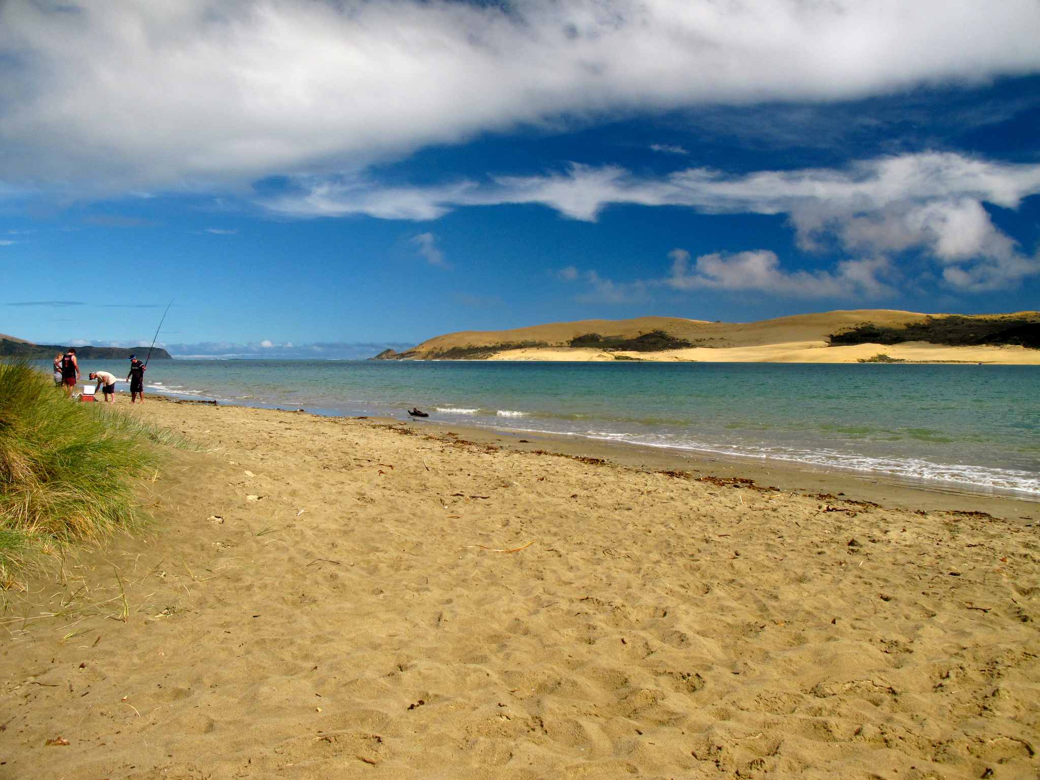
Beachfront at Opononi.
x

A zoomed view of the dune riders across from Opononi. The Hokianga Express boat makes the crossing to deliver you to the dunes.
x

The statue memorial to Opo, Opononi’s favorite friendly dolphin for a brief month in the 1950s. This statue is outside the pub/market across from the Opononi wharf where Opo liked to cavort.
x
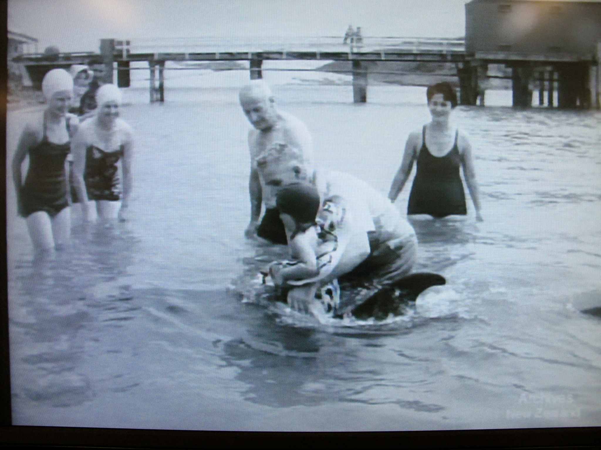
A screengrab shot of Opo the Dolphin from the Opononi i-Site video,

A screengrab shot of Opo the Dolphin from the Opononi i-Site video,
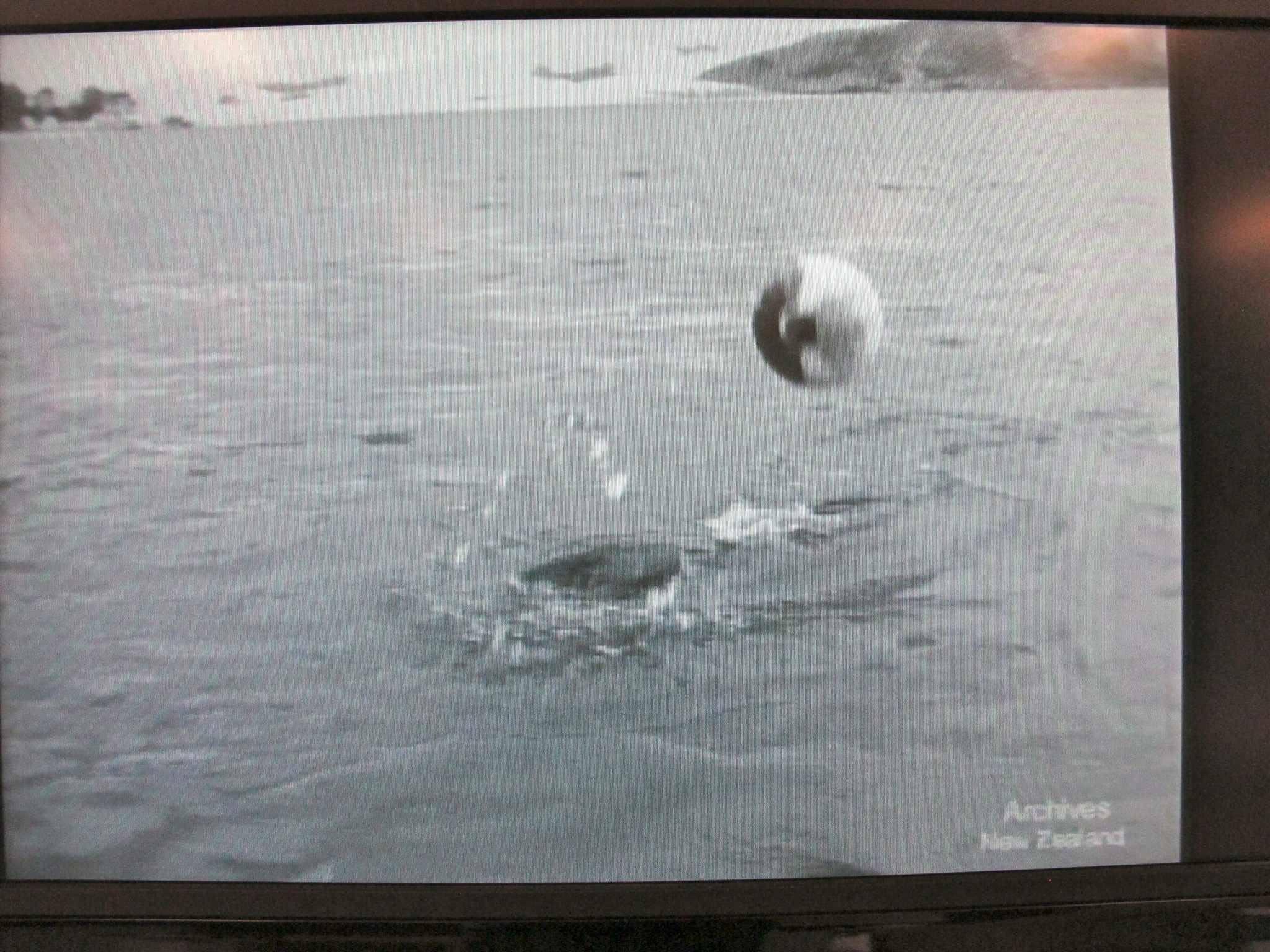
A screengrab shot of Opo the Dolphin from the Opononi i-Site video,

A screengrab shot of Opo the Dolphin from the Opononi i-Site video,
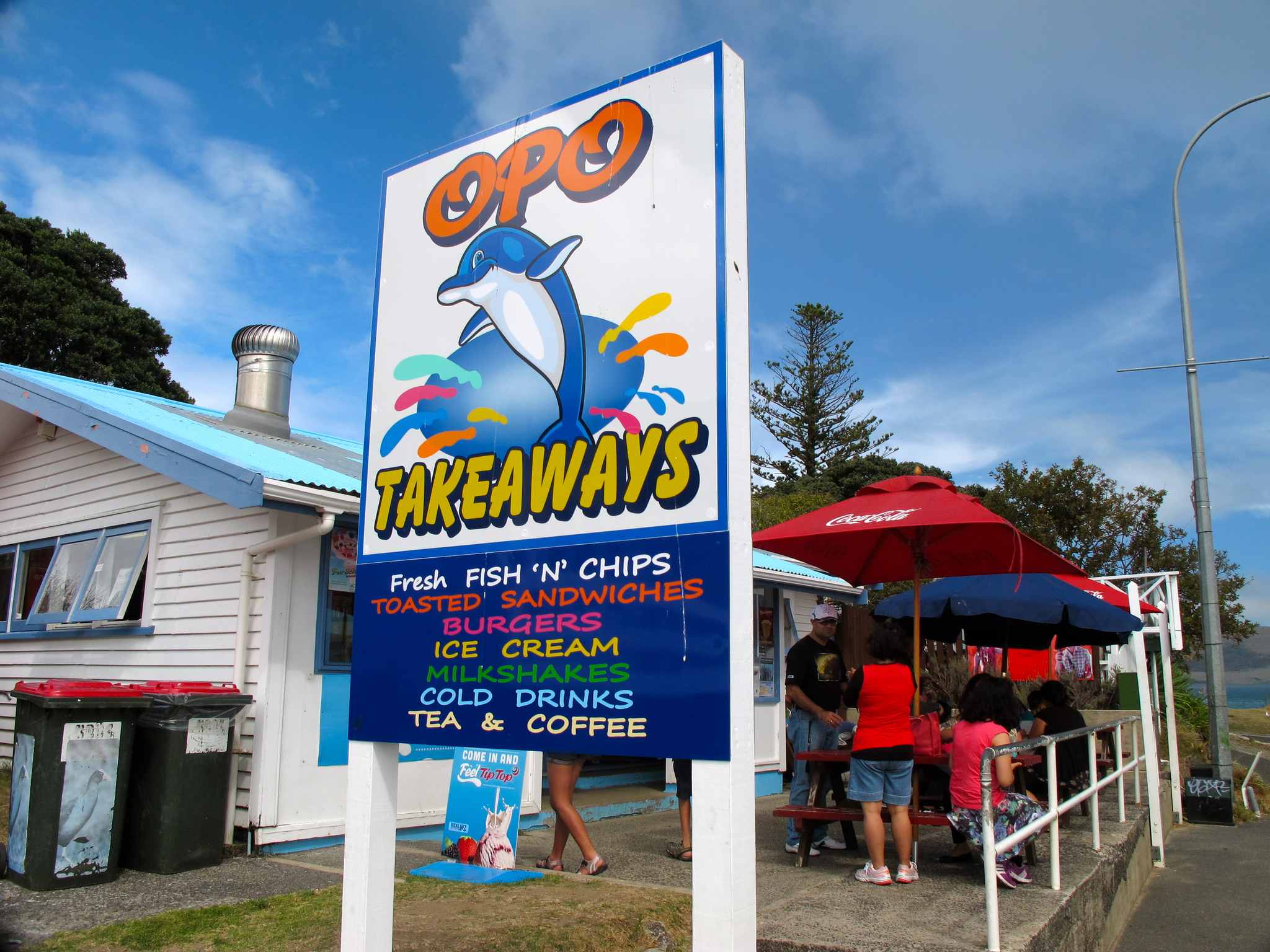
Opo Takeaways on the Opononi waterfront
x

Arai te Uru overview
x
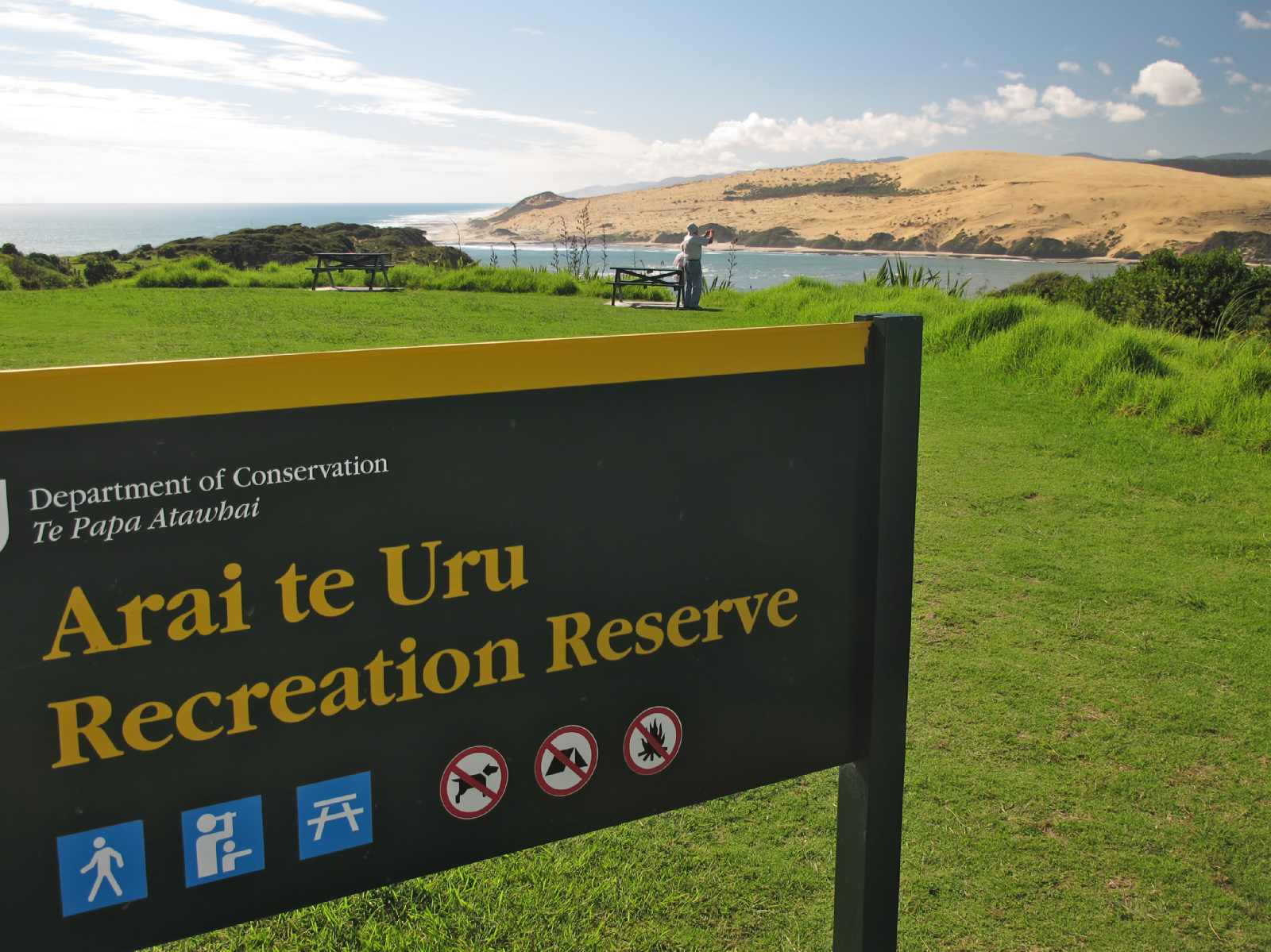
Arai te Uru Signal Point carpark
x

The viewpoint bench at Arai te Uru’s point
x

The mermaid-pool rocks on the route looping under Arai te Uru point, Hokianga dunes in view across the harbour channel
x

Rock archways, maze-like channels, and mermaid pools on the beach loop route
x

Head south along the rock beach from Arai te Uru and you might find the Hokianga blowhole doing its thing
x

Koutu boulders walk
Koutu boulders walk

Parking and access to Koutu boulders shoreline
x

A zen moment along the Koutu Boulders shoreline low-tide route
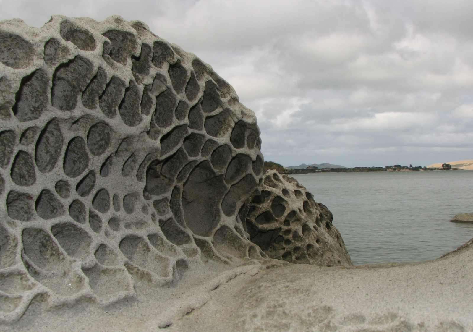
These odd Koutu boulders are very similar to the famous ones found on Moeraki Beach on the South Island, though not nearly as perfect. Like Moeraki’s, these Koutu boulders are also sandstone concretions that formed within the sandstone bluff, then were exposed as the bay eroded the bluff, leaving them plonked here along the Koutu shoreline.
Here’s a good Wikipedia article explaing concretions: http://en.wikipedia.org/wiki/Concretion
Other odd rock formations along the Koutu boulders walk

High tide swamping a Koutu boulder

Leave a comment